Glenbeigh’s surviving buildings span a late eighteenth-century house and an ambitious Victorian ruin, while a community memorial recalls the railway through South Kerry.
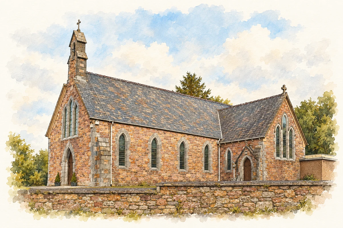
Illustration, St James’s Church, Glenbeigh
⊕Recorded locationGlenbeigh52.05754° N · 9.94264° WInteractive map supplied by OpenStreetMap.
These Irish name elements are associated with this record in the Logainm glossary.
An element’s translation is a clue, rather than a complete explanation of the name. Its form and meaning depend on local history and the full Irish name.
Recorded forms
Gleann Beithe· Irish · main form · validated name
Glenbeigh· English · main form
Place & story
A Victorian tower house
Glenbeigh Towers looks medieval, but the architectural inventory dates its construction to 1867–71. The ruined country house had a courtyard arrangement, an octagonal turret and sandstone window surrounds with several different kinds of arch. Fire in 1922 preceded the extensive collapse recorded by the survey. A surviving corner and the remains of associated buildings preserve fragments of a much larger composition. Its defensive-looking bastion and gun loops formed part of a Victorian architectural scheme rather than evidence for a medieval fortress.[2]
From house to hotel
The Glenbeigh Hotel began as a house in 1792 and was formerly known as Wales’ Inn. Its long, two-storey frontage and rear wing give it an L-shaped plan. Renovations around 1880 added projecting bay windows on the western side, while a gateway dating from about 1820 marks another stage in its development. The architectural record identifies surviving interior features as well as sash windows and slate roofs. It documents a building repeatedly adapted for hospitality while retaining substantial earlier fabric.[3]
The railway’s afterlife in local memory
Glenbeigh Community Council unveiled a railway memorial at Ross Cross in September 2014. Its account recalls Glenbeigh as the midpoint of the Farranfore–Valentia Harbour branch, whose western extension opened in September 1893. Engineering the route required viaducts, tunnels and numerous culverts. The council also remembered the overnight trains carrying Kerry supporters to All-Ireland football finals at Croke Park. Those journeys placed the railway within sporting life as well as the everyday movement of passengers and goods.[4]
Both counts use the 2016 settlement boundary, allowing like-for-like comparison. CSO supplies the 2022 count on this older boundary for comparison only. The official 2022 Built Up Area has different boundaries.
View population figures
Glenbeigh — Census 2016 settlement footprint — census population
These are the historical areas published in the 2006 census report. Boundaries may differ between censuses and from modern settlements. Legal towns, environs and suburbs are shown separately; none has been combined into a modern settlement total.
View population figures
Glenbeigh, Kerry — Census town, CSO 2006 report — census population
These are the historical areas published in the 1996 census report. Boundaries may differ between censuses and from modern settlements. Legal towns, environs and suburbs are shown separately; none has been combined into a modern settlement total.
View population figures
Glenbeigh, Kerry — Census town, CSO 1996 report — census population
Figures cover the historical town area printed in the 1986 report. Boundaries may have changed between censuses. Legal town, environs and suburb totals remain separate and differ from modern settlement boundaries.
View population figures
Glenbeigh, Kerry — Census town, CSO 1986 report — census population
These figures use different area definitions. Read the boundary note before comparing them.
Glenbeigh, Kerry
Published census settlement populations
308people · 2016
Settlement boundaries changed during this period. Differences may reflect boundary changes as well as population change. Where a 2011 legal-town-and-environs count is shown, it has not been recalculated onto the 2016 settlement boundary.
 placenames