 placenames
Stradbally
An Sráidbhaile
This Stradbally stands beside Brandon Bay in Kerry, where a medieval churchyard preserves architectural fragments, carved stone and a shipwreck memorial.
The name
These Irish name elements are associated with this record in the Logainm glossary.
An element’s translation is a clue, rather than a complete explanation of the name. Its form and meaning depend on local history and the full Irish name.
Recorded forms
- An Sráidbhaile · Irish · main form · non-validated name
- Stradbally · English · main form
Place & story
The village in 1837
Samuel Lewis counted about sixty houses and 425 inhabitants in Stradbally village in his 1837 dictionary. Most houses were thatched. The settlement lay on the road from Dingle towards Tralee, and a further road through the parish was then under construction towards Knockglass. Lewis separately named Hillville and Stradbally Lodge as residences with views over the bay and Mount Brandon. His account distinguishes the small village from the larger rural parish, whose population he put at 1,253. [2]
A medieval church at Ardbeg
The church and graveyard at Ardbeg lie north of the village towards Stradbally Strand. A 2010 archaeological survey traced documentary references to the church in 1302 and 1398; it was still functioning in 1615 but was recorded as ruined in 1756. Later burials incorporated parts of the older building. The survey identified reused stone water spouts in tombs and fallen dressed stones from the north doorway, preserving evidence of the church’s former architectural detail. [3]
Carved stone and a shipwreck grave
A rounded boulder in the graveyard’s south-west corner carries a single cup-mark, an unusual feature among the later burial monuments. At the opposite corner, a small headstone marks a communal grave for some sailors lost in the January 1894 wreck in Brandon Bay. The survey distinguishes this grave from other crew burials elsewhere nearby. Together these features connect the enclosed churchyard with a much longer landscape history and the dangers of the neighbouring coast. [3]
Geographic information
- Place type
- Population centre
- County
- Kerry
- Barony
- Corkaguiny
- Civil parish
- Stradbally
- Within
- Ardbeg
- Within
- Farrantooleen
- Coordinates
- 52.24400, -10.06172
- Logainm ID
- 22784 ↗
Sources & further reading
- Logainm.ie — Stradbally. Place names and geographic record, licensed under CC BY 4.0.
- Stradbally, County Kerry, A Topographical Dictionary of Ireland (1837) · Samuel Lewis
- Archaeological Survey: Stradbally Church and Graveyard, Ardbeg, September 2010 · Laurence Dunne Archaeology for Kerry County Council
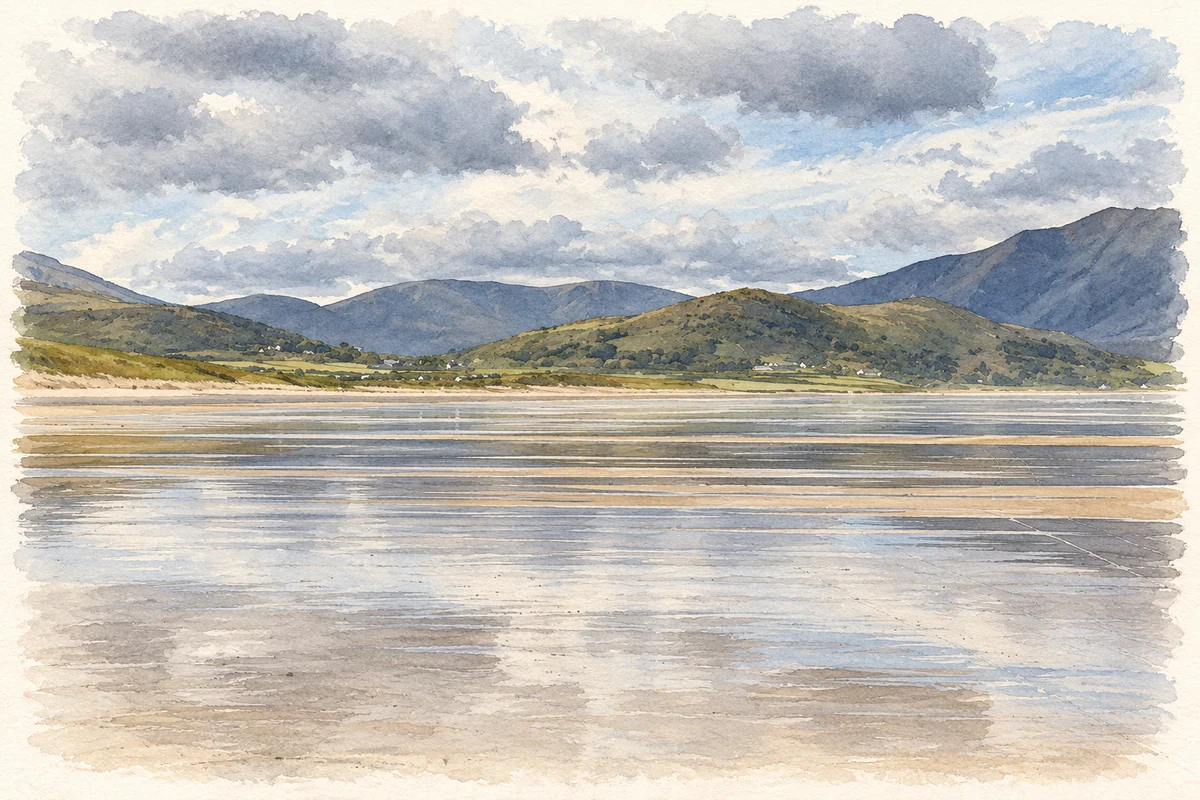
- Stradbally Strand, County Kerry illustration: based on a Stradbally Strand by Oliver Dixon. AI-assisted watercolour and ink adaptation; cream paper margins added, incidental clutter omitted and fine details simplified. Licence: CC BY-SA 2.0.
Name record retrieved 2026-10-25 · Source record modified 2026-06-17. How this page was prepared.