Beaufort's history connects the Laune crossing with early cinema, ancient inscriptions and the everyday trade behind the Gap of Dunloe's visitor business.
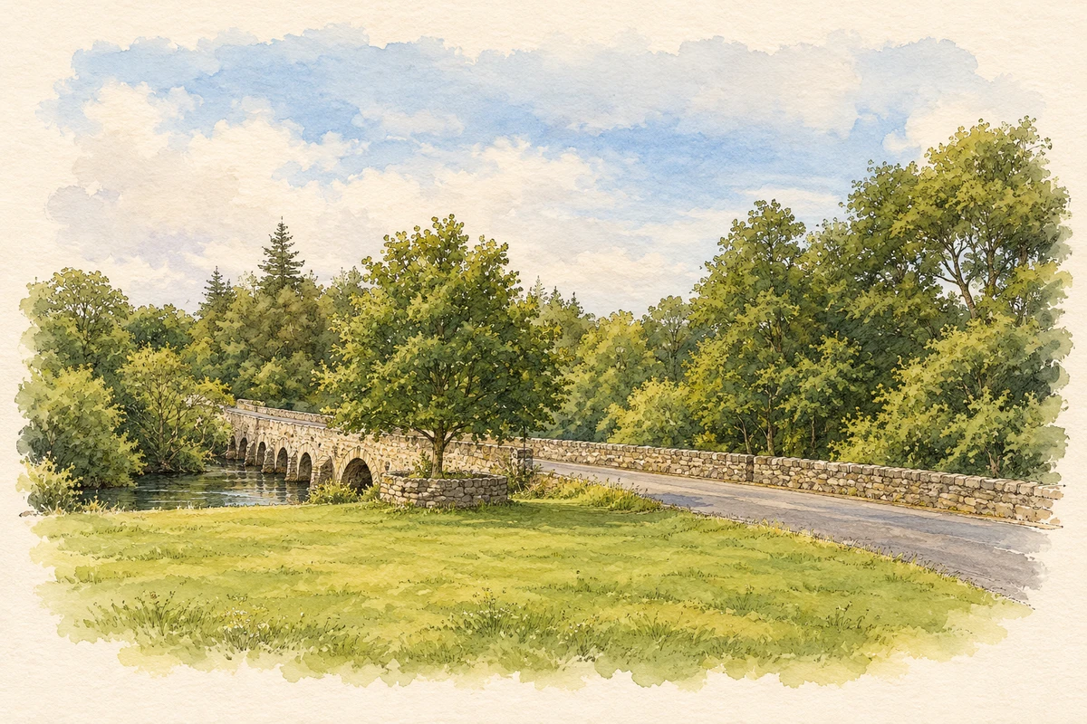
Illustration, Beaufort Bridge over the River Laune
⊕Recorded locationBeaufort52.06871° N · 9.64102° WInteractive map supplied by OpenStreetMap.
These Irish name elements are associated with this record in the Logainm glossary.
An element’s translation is a clue, rather than a complete explanation of the name. Its form and meaning depend on local history and the full Irish name.
Recorded forms
Lios an Phúca· Irish · main form · validated name
Beaufort· English · main form
Place & story
The eight arches of Beaufort Bridge
Beaufort Bridge carries the road across the Laune on eight round-headed arches. The National Inventory of Architectural Heritage dates it to about 1825. Its rubble-stone construction includes buttresses and both U-shaped and V-shaped cutwaters, features that help divide the current around the piers. The parapets retain stone-on-edge coping, with cement replacements in places. Spanning two townlands, the bridge is a substantial surviving piece of the area's nineteenth-century transport infrastructure.[2]
People & connections
Sidney Olcott's Beaufort films
Film director Sidney Olcott and his company returned to this part of Kerry each summer from 1910. Beaufort was a location for The Colleen Bawn, released by Kalem in 1911. A report in the Moving Picture World in August 1914 described the company's studio on the road between Killarney and the Gap of Dunloe: passing tourists stopped to watch the filming. Historian Denis Condon records talk of a permanent Beaufort base, plans overtaken by the outbreak of the First World War.[3]
Written stones given a second life
At Coolmagort, about a kilometre south of Beaufort, eight ogham stones stand together in an arrangement made in 1945. Seven were discovered locally in 1838, reused as roof lintels in an early medieval souterrain. The eighth came from the ruined church site at Kilbolane. Their earlier inscriptions record personal names and family relationships; three mention Toicacas, possibly the name of a local people. The stones preserve both early writing and the later builders' practical reuse of older monuments.[4]
The shop behind the tourist landmark
The family history of Kate Kearney's Cottage, at the entrance to the Gap of Dunloe, preserves a practical view of the visitor trade around Beaufort. John and Mary Moriarty added rooms around 1905 as their pub and shop grew busier. Accounts from 1911–12 show local customers buying candles, soap, laces, tea, bread and other necessities. Visitors could buy Connemara marble, bog oak and lace and linen from the Killarney convent. The same premises supplied both a rural neighbourhood and a growing tourist market.[5]
Both counts use the 2016 settlement boundary, allowing like-for-like comparison. CSO supplies the 2022 count on this older boundary for comparison only. The official 2022 Built Up Area has different boundaries.
View population figures
Beaufort — Census 2016 settlement footprint — census population
These are the historical areas published in the 2006 census report. Boundaries may differ between censuses and from modern settlements. Legal towns, environs and suburbs are shown separately; none has been combined into a modern settlement total.
View population figures
Beaufort, Kerry — Census town, CSO 2006 report — census population
These figures use different area definitions. Read the boundary note before comparing them.
Beaufort, Kerry
Published census settlement populations
251people · 2016
Settlement boundaries changed during this period. Differences may reflect boundary changes as well as population change. Where a 2011 legal-town-and-environs count is shown, it has not been recalculated onto the 2016 settlement boundary.
 placenames