These Irish name elements are associated with this record in the Logainm glossary.
An element’s translation is a clue, rather than a complete explanation of the name. Its form and meaning depend on local history and the full Irish name.
Recorded forms
Cill Orglan· Irish · main form · validated name
Killorglin· English · main form
Place & story
Corn and salmon out, timber and salt in
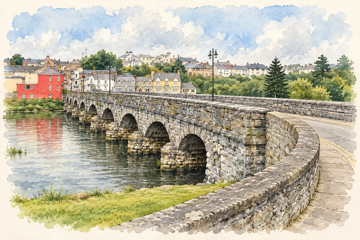
The Laune placed Killorglin on a water route as well as the road between Tralee and Cahirciveen. Lewis recorded in 1837 that substantial vessels could navigate close to the village. Corn and salmon were exported, while iron, timber and salt arrived from outside. A bridge carried the main road across the river near a settlement of 163 houses. The river therefore served both the town's food economy and its supply of building and working materials.[2]
Folklore & tradition
Puck Fair in an early account
Lewis named the August gathering Puck Fair and described sales of unbroken Kerry ponies and goats. He also recorded that a male goat was sometimes decorated and paraded through the fair. This dated description establishes the goat's ceremonial role in the nineteenth-century gathering. Alongside the spectacle, the fair remained a place to buy and sell animals, joining local custom with the practical business of a rural market.[2]
The railway's second life
Killorglin's five-span railway viaduct opened in 1885 to a design by S. G. Frazier. Stone arches at either end frame three central spans carried by bow-string iron girders on limestone piers. The railway closed in 1960. Renovation in 1993 adapted the structure for pedestrians, retaining a substantial piece of transport engineering as a footbridge over the Laune. Its combination of stonework and metal spans gives the crossing a distinctive silhouette.[3]
Both counts use the 2016 settlement boundary, allowing like-for-like comparison. CSO supplies the 2022 count on this older boundary for comparison only. The official 2022 Built Up Area has different boundaries.
View population figures
Killorglin — Census 2016 settlement footprint — census population
These are the historical areas published in the 2006 census report. Boundaries may differ between censuses and from modern settlements. Legal towns, environs and suburbs are shown separately; none has been combined into a modern settlement total.
View population figures
Killorglin, Kerry — Census town, CSO 2006 report — census population
These are the historical areas published in the 1996 census report. Boundaries may differ between censuses and from modern settlements. Legal towns, environs and suburbs are shown separately; none has been combined into a modern settlement total.
View population figures
Killorglin, Kerry — Census town, CSO 1996 report — census population
Figures cover the historical town area printed in the 1986 report. Boundaries may have changed between censuses. Legal town, environs and suburb totals remain separate and differ from modern settlement boundaries.
View population figures
Killorglin, Kerry — Census town, CSO 1986 report — census population
These figures use different area definitions. Read the boundary note before comparing them.
Killorglin, Kerry
Published census settlement populations
2,199people · 2016
Settlement boundaries changed during this period. Differences may reflect boundary changes as well as population change. Where a 2011 legal-town-and-environs count is shown, it has not been recalculated onto the 2016 settlement boundary.
 placenames