These Irish name elements are associated with this record in the Logainm glossary.
An element’s translation is a clue, rather than a complete explanation of the name. Its form and meaning depend on local history and the full Irish name.
Recorded forms
An Ráth Mhór· Irish · main form · validated name
Rathmore· English · main form
Place & story
The station opened in 1855
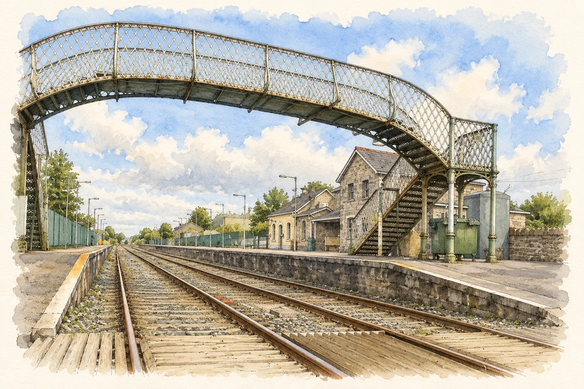
Rathmore railway station opened in 1855. Its main building combines single- and two-storey sections, with a projecting gable, a station master's house and a timber canopy sheltering part of the platform frontage. Sandstone walls and limestone details give the complex a substantial appearance. Later alterations changed windows and added an extension, but the original arrangement remains legible. The station preserves a nineteenth-century connection between a rural Kerry settlement and the wider railway network, with the staff dwelling and passenger facilities brought together in one building.[2]
Saint Joseph's Gothic church
Saint Joseph's Catholic Church dates from about 1865. Sandstone walls, limestone dressings and narrow pointed windows give it a distinct Gothic character. Inside, pointed arches on stone columns separate the nave from its side aisles, and an open timber roof spans the main space. The architectural survey records a decorative iron screen dating from around 1910 in a side chapel. A graveyard and freestanding belfry complete the setting. These surviving features show several phases in the development of the church rather than a single untouched building campaign.[3]
People & connections
Two goalkeepers in a national final
Rathmore won the All-Ireland intermediate club football title at Croke Park on 15 January 2023, defeating Tyrone's Galbally Pearses by 1–11 to 0–11. Kerry goalkeeper Shane Ryan played outfield for his club, scored a goal and three points and received the match award. Rathmore's own goalkeeper, Kenneth O'Keeffe, made two important saves, including one late in the game. Paul Murphy also played in the winning side. The result brought national success through an unusual combination: a county goalkeeper supplying the decisive score while his club's goalkeeper protected the advantage.[4]
Both counts use the 2016 settlement boundary, allowing like-for-like comparison. CSO supplies the 2022 count on this older boundary for comparison only. The official 2022 Built Up Area has different boundaries.
View population figures
Rathmore — Census 2016 settlement footprint — census population
These are the historical areas published in the 2006 census report. Boundaries may differ between censuses and from modern settlements. Legal towns, environs and suburbs are shown separately; none has been combined into a modern settlement total.
View population figures
Rathmore, Kerry — Census town, CSO 2006 report — census population
These are the historical areas published in the 1996 census report. Boundaries may differ between censuses and from modern settlements. Legal towns, environs and suburbs are shown separately; none has been combined into a modern settlement total.
View population figures
Rathmore, Kerry — Census town, CSO 1996 report — census population
Figures cover the historical town area printed in the 1986 report. Boundaries may have changed between censuses. Legal town, environs and suburb totals remain separate and differ from modern settlement boundaries.
View population figures
Rathmore, Kerry — Census town, CSO 1986 report — census population
These figures use different area definitions. Read the boundary note before comparing them.
Rathmore, Kerry
Published census settlement populations
790people · 2016
Settlement boundaries changed during this period. Differences may reflect boundary changes as well as population change. Where a 2011 legal-town-and-environs count is shown, it has not been recalculated onto the 2016 settlement boundary.
 placenames