These Irish name elements are associated with this record in the Logainm glossary.
An element’s translation is a clue, rather than a complete explanation of the name. Its form and meaning depend on local history and the full Irish name.
Recorded forms
Mainistir Ó dTorna· Irish · main form · validated name
Abbeydorney· English · main form
Place & story
The abbey called Kyrie Eleison
The Cistercian abbey from which Abbeydorney takes its name was founded in 1154. Historical accounts also call it Kyrie Eleison and identify Monasteranenagh in County Limerick as its mother house. The identity of its founder is uncertain. By Samuel Lewis's visit in the nineteenth century, the remains stood just north of the village and had lost much of their original character. His account places the abbey within an international religious order while also recording how reduced its visible fabric had become.[2][3]
People & connections
Christian Ua Conairche’s retirement
Christian Ua Conairche, the first abbot of Mellifont and later bishop of Lismore, retired to Abbeydorney in the later twelfth century. He had been a leading figure in church reform and served as papal legate in Ireland. A contemporary letter discussed his wish to withdraw from office because of age and infirmity. He died at Abbeydorney in 1186 and was buried there. This final residence connects the monastery with a churchman whose career had included major synods and links with continental Cistercian houses.[4]
From road junction to railway station
Lewis described the nineteenth-century village at the meeting of the old and new roads between Tralee and Listowel, with a penny post, police station and flour mill.[2]
A later transport connection arrived when Abbeydorney railway station opened on 20 December 1880. The Irish Railway Record Society's station index distinguishes the end of passenger service in February 1963 from goods closure in December 1974 and final closure in February 1978. Those separate dates show why the end of passenger trains did not immediately end the station's railway role.[5]
Both counts use the 2016 settlement boundary, allowing like-for-like comparison. CSO supplies the 2022 count on this older boundary for comparison only. The official 2022 Built Up Area has different boundaries.
View population figures
Abbeydorney — Census 2016 settlement footprint — census population
These are the historical areas published in the 2006 census report. Boundaries may differ between censuses and from modern settlements. Legal towns, environs and suburbs are shown separately; none has been combined into a modern settlement total.
View population figures
Abbeydorney, Kerry — Census town, CSO 2006 report — census population
These are the historical areas published in the 1996 census report. Boundaries may differ between censuses and from modern settlements. Legal towns, environs and suburbs are shown separately; none has been combined into a modern settlement total.
View population figures
Abbeydorney, Kerry — Census town, CSO 1996 report — census population
Figures cover the historical town area printed in the 1986 report. Boundaries may have changed between censuses. Legal town, environs and suburb totals remain separate and differ from modern settlement boundaries.
View population figures
Abbeydorney, Kerry — Census town, CSO 1986 report — census population
These figures use different area definitions. Read the boundary note before comparing them.
Abbeydorney, Kerry
Published census settlement populations
418people · 2016
Settlement boundaries changed during this period. Differences may reflect boundary changes as well as population change. Where a 2011 legal-town-and-environs count is shown, it has not been recalculated onto the 2016 settlement boundary.
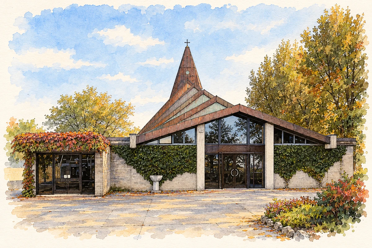
Saint Bernard's Church, Abbeydorney illustration: based on a Abbeydorney, Saint Brendan's Church 1 by Rauenstein. AI-assisted watercolour and ink adaptation; cream paper margins added, incidental clutter omitted and fine details simplified. Licence: CC BY-SA 3.0.
 placenames