 placenames
1901 census
180People recorded
33Households recorded
Most frequent surnames in this year’s matched records
Explore the 1901 records ↗Baile Uí Mhaoláin
Testing beside recorded prehistoric features and two nineteenth-century bridges reveal different layers of this Cork townland.
These Irish name elements are associated with this record in the Logainm glossary.
An element’s translation is a clue, rather than a complete explanation of the name. Its form and meaning depend on local history and the full Irish name.
In 2021, Avril Purcell tested land at Ballyvolane after geophysical survey. Eleven trenches examined detected anomalies without uncovering archaeological features or deposits. A recorded burnt mound and fulacht fia within the landholding were excluded from testing because they were to be preserved in place. The negative trench results therefore concern the tested areas, rather than establishing an absence of archaeology across the site. [2]
The railway crossing over Spring Lane is dated to around 1845 in the architectural inventory. A segmental limestone arch rests on rock-faced piers, with smoother dressed stone marking the springing level and parapet courses. It carried the Great Southern and Western Railway’s route into Cork, forming part of the railway’s group of crossings around Blackpool. [3]
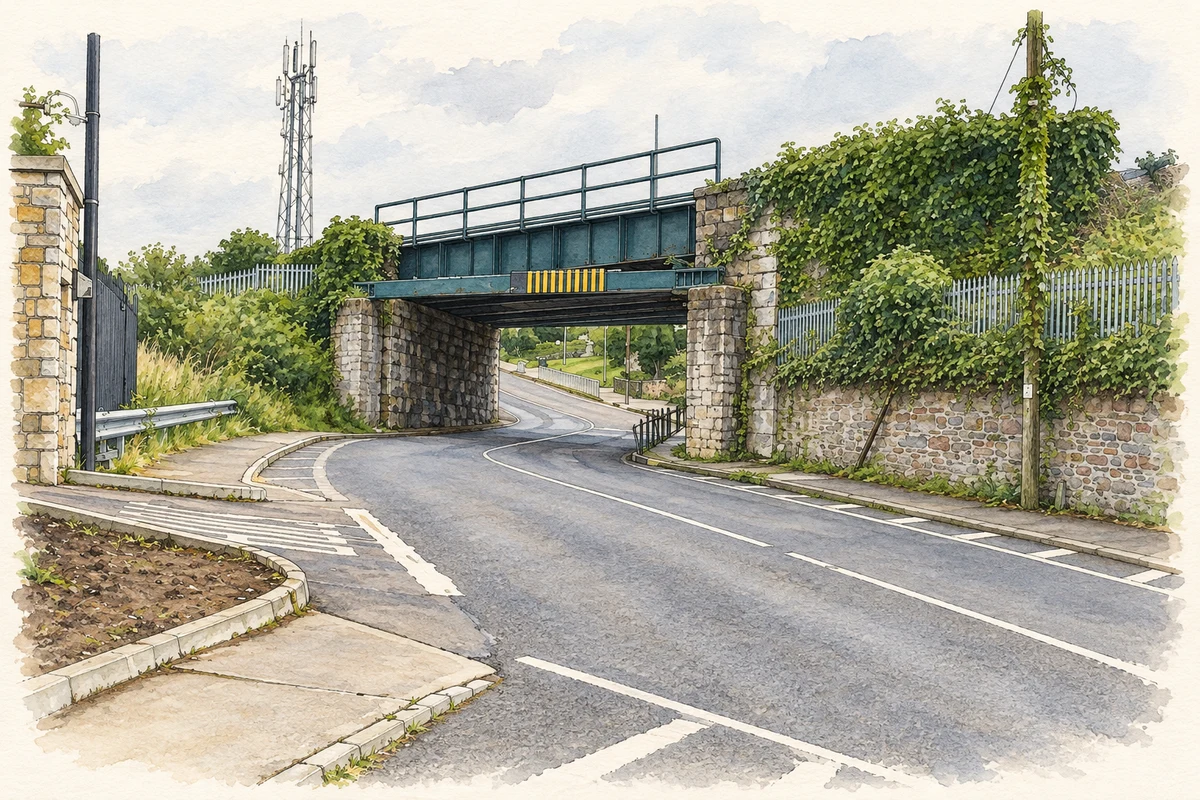
At the Ballyvolane–Kilbarry boundary, the Dublin Hill railway bridge uses a cast-iron deck supported by limestone piers. The inventory also dates this crossing to around 1845. Later piers immediately in front support a height-restriction barrier. The two bridges show different structural solutions along the same railway approach. [4]
Census figures refer to the matched historical census area for each year. Boundaries and spellings can change over time.
Most frequent surnames in this year’s matched records
Explore the 1901 records ↗No verified place match is available for this year. This does not indicate a population of zero.
No verified place match is available for this year. This does not indicate a population of zero.
Name record retrieved 2026-10-25 · Source record modified 2025-01-10. How this page was prepared.