 placenames
Carbury
Cairbre
Castle ruins rise above a Kildare village whose stories also reach into the nearby bog and the source of the Boyne.
The name
A reliable full-name meaning has not been established here. The recorded Irish and English forms are given without an unsupported translation.
Recorded forms
- Cairbre · Irish · main form · validated name
- Carbury · English · main form
Place & story
Several castles in one ruin
Carbury Castle developed through successive forms: an earthwork motte, a thirteenth-century stone chamber block and later additions that culminated in a tall early-modern house with star-shaped chimneys. Archaeologist Karen Dempsey’s site study also identifies garden earthworks around its southern and eastern sides and quarrying to the north. The hilltop ruin belongs to a wider complex that includes a ruined church and graveyard, rather than a solitary medieval tower. [2]
Nechtain and the well
The parish’s account preserves a tradition of the hill as Sidh Nechtain, associated with Nechtain and his queen Boand. In this story the waters of a nearby well overwhelm Boand, linking the landscape with the origin of the Boyne. The well later became known as Trinity Well. These are mythic associations recorded in local history, distinct from the physical evidence used to date the castle. [3]
Poetry at the village pump
Retired GP and writer Philip Brady took part in a Carbury community storytelling event in January 2026, reading poetry inspired by people encountered through his work. Helen Shaw’s account records one of his poems, Carbury Village Pump, displayed at the restored pump facing the community centre. Artist Luke Casserly led a session connecting participants’ names and memories, while local church members shared the history of their buildings and families. [4]
A bog managed by a community
Carbury and Knockirr Bog has been owned and managed by a community trust since 1906, according to the Tóchar project’s account. Local photographer Shane Hynan, the trust’s secretary, presented work drawn from growing up around the bog at the 2026 gathering. His photographs documented changing attitudes to turf cutting, memory and the wetland landscape. The bog remains part of Carbury’s social history alongside the more conspicuous castle on the hill. [4]
Geographic information
Sources & further reading
- Logainm.ie — Carbury. Place names and geographic record, licensed under CC BY 4.0.
- Sowing Seeds of Interdisciplinary Work: Relict Plants at Medieval Castles, Carbury section · Dr Karen Dempsey, NUI Galway, funded by Castle Studies Trust
- Our History: Carbury through the ages · Parish of Carbury
- Weaving stories in Carbury from the village, castle and bog, 3 February 2026 · Helen Shaw, Tóchar Stories, NPWS
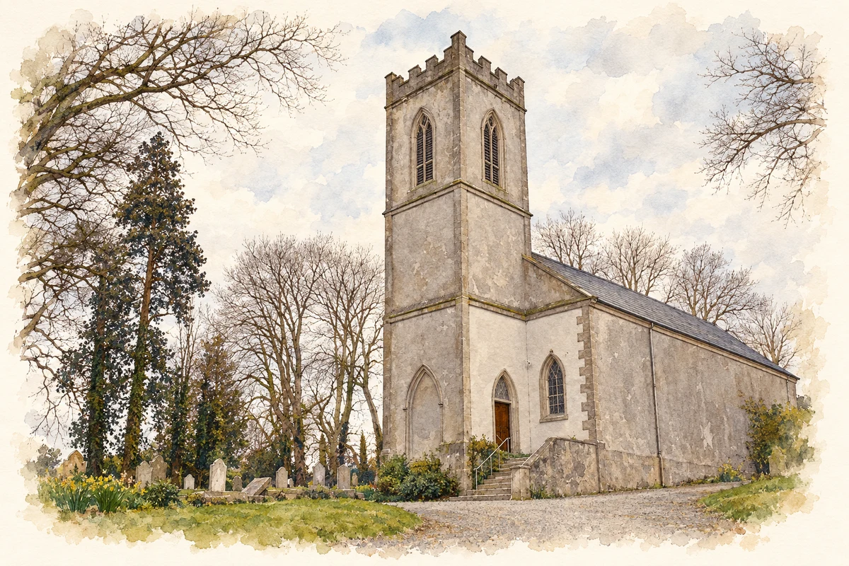
- Church of Ireland parish church, Carbury illustration: based on a Carbury, County Kildare by Sarah777. AI-assisted watercolour and ink adaptation; cream paper margins added, incidental clutter omitted and fine details simplified. Licence: CC BY-SA 2.0; adapted illustration distributed under the same licence.
Name record retrieved 2026-10-25 · Source record modified 2025-01-10. How this page was prepared.