 placenames
Nurney
An Urnaí
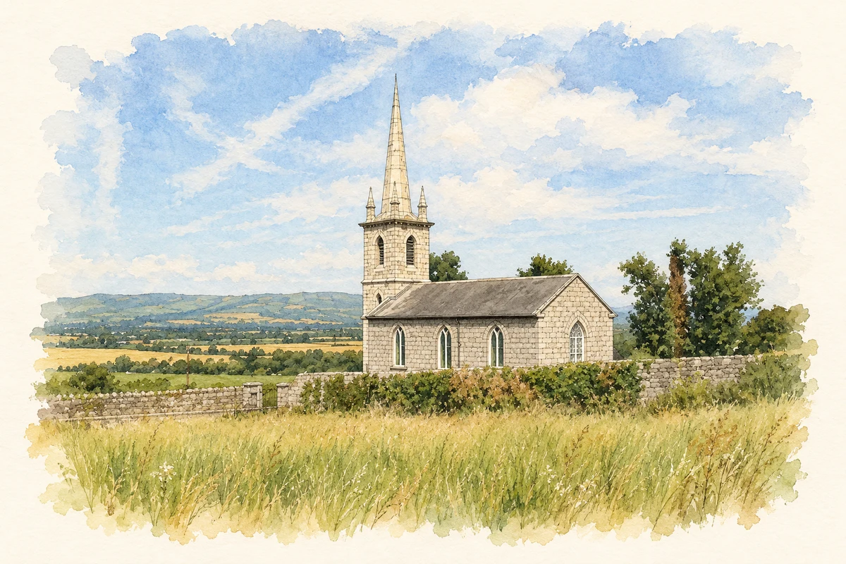
Nurney’s churchyard and neighbouring field preserve stone crosses from an earlier religious landscape. Saint John’s slender spire overlooks a village once supported by quarrying, farming and road connections.
The name
A reliable full-name meaning has not been established here. The recorded Irish and English forms are given without an unsupported translation.
Recorded forms
- An Urnaí · Irish · main form · validated name
- Nurney · English · main form
Place & story
Crosses around the churchyard
The early religious site at Nurney survives most visibly in its granite crosses. Carlow Tourism’s Trails of the Saints guide distinguishes a cross head within the churchyard from a complete cross in the private field behind it. The latter retains a solid stone ring, a raised central boss and rope mouldings, described by observer Jim Dempsey after his 2018 visit. He also recorded a socketed pyramidal base in the field. These separate fragments and monuments require care when identifying what survives; the complete cross stands beyond the churchyard boundary. [2] [3]
Saint John’s church and its spire
Saint John’s Church of Ireland church is a compact Gothic building with pointed openings and a conspicuous needle spire. The Dictionary of Irish Architects records its consecration on 19 April 1792 and a contribution from the Board of First Fruits towards its construction. The same record identifies Joseph Welland’s restoration of the spire in 1844, supported by signed drawings in the Representative Church Body Library. The National Inventory records a later interior refitting around 1870 and a group of wall monuments. [4] [5]
Quarries, roads and a village school
Samuel Lewis described Nurney in 1837 as about fifty houses at the meeting of several roads. Granite was quarried for building and limestone for burning, while the Barrow navigation offered a route for goods to Waterford. A parochial school, in a building erected at Colonel Bruen’s expense, taught about seventy children. Lewis also noted an unused patent for a fair on 6 May: permission to hold a fair did not necessarily mean that a regular market developed. [6]
Geographic information
- Place type
- Population centre
- County
- Carlow
- Barony
- Idrone East
- Civil parish
- Nurney
- Within
- Nurney
- Coordinates
- 52.74906, -6.90400 (approximate)
- Logainm ID
- 1412389 ↗
Sources & further reading
- Logainm.ie — Nurney. Place names and geographic record, licensed under CC BY 4.0.
- Carlow Trails of the Saints: Nurney, page 32 · Carlow Tourism, 2018
- Nurney High Cross, Carlow: observations from June 2018 · Jim Dempsey, Megalithic Ireland
- Nurney, Church of St John: works record 15501 · Irish Architectural Archive, Dictionary of Irish Architects
- Saint John’s Church, Nurney: record 10301228 · National Inventory of Architectural Heritage
- Nurney, County Carlow: A Topographical Dictionary of Ireland, 1837 · Samuel Lewis
- St John's Church, Nurney, County Carlow illustration: based on a St John's Church, Nurney, Co. Carlow by Humphrey Bolton. AI-assisted watercolour and ink adaptation; cream paper margins added, incidental clutter omitted and fine details simplified. Licence: CC BY-SA 2.0.
Name record retrieved 2026-10-25 · Source record modified 2025-01-10. How this page was prepared.